Media: BOOK - 356 pages
Year: (c1944)
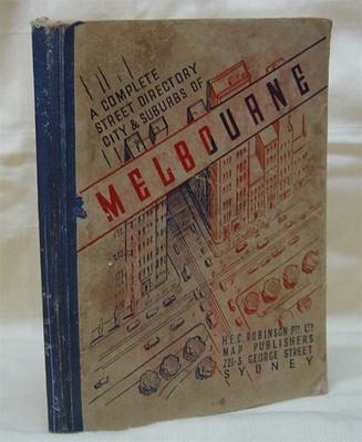
This original edition (c1944) is complete, except for the foldout out map. However it was disbound for scanning. The cover is separated from the body of the book (it could be rebound if desired).
This edition of 'Robinson's Sydney Street Directory' contains over 170 street maps of the City of Sydney and the surrounding suburbs.
The maps detail both Municipal and Shire boundaries, and also include a key which indicates the positions of municipalities, suburbs, main roads, railways and tramways. The locations of private and public hospitals are also given. This really is a fascinating look into Sydney and its suburbs as they were back in the 1940s.
Related Products

 AUD
AUD
 USD
USD
 NZD
NZD
 GBP
GBP
 Euro
Euro


